
Public historian Lizzie Ehrenhalt didn’t mean to create a flourishing map of lesser known queer histories of greater Minnesota dating back to the late 18th century. But curiosity got the best of her.
Ehrenhalt, a native of Arlington, Va., moved to Minnesota wanting to know more about the state’s trans and queer history. “I didn’t have any assumptions about where to look, so I kind of just looked everywhere,” she said.
That led her to initiate a participatory storytelling project called “Greater Minnesota Two-Spirit and LGBTQIA+ History Map,” which explores the stories of queer Minnesotans outside of the Twin Cities.
It began as “a humble little Google map of things,” including newspaper articles from greater and rural Minnesota. Facilitated by the Minnesota Historical Society, and in collaboration with its Inclusion and Community Department and many community partners, the project now has over 140 entries.
Visitors to the map can explore it with a “choose your own adventure” style, simply by clicking on various points across Minnesota, which are color-coded by time period. Or the map can be studied by themes such as Indigenous and two-spirit history, rural voices, drag and gender variance, celebrations and organizing.
Each point on the map offers a snippet of knowledge about a historical event, and often includes an image, sometimes as a newspaper clipping and other times as an archival photograph.
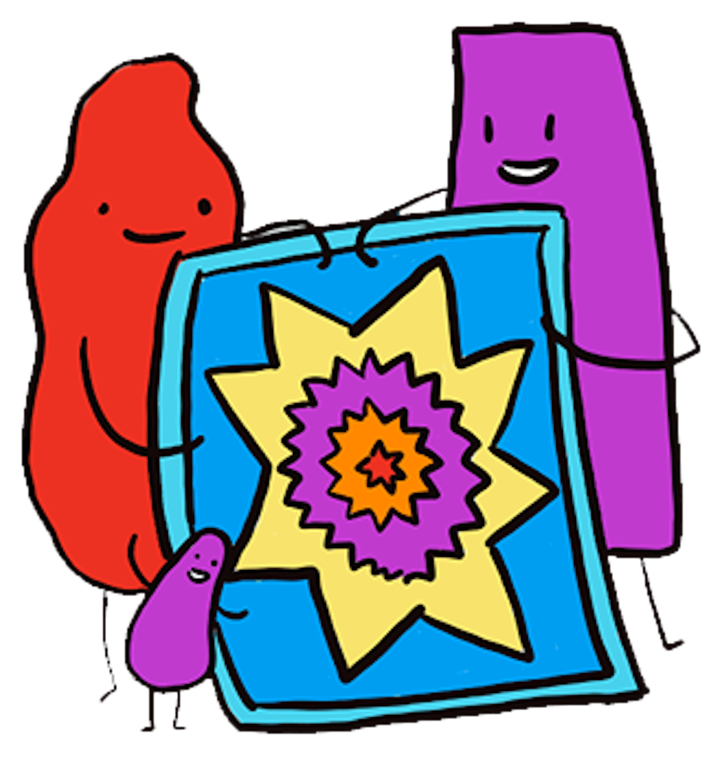
Denver-based illustrator B. Erin Cole, who used to work at MNHS, contributed six colorful illustrations based off images in the map project. In one illustration, Minnesota-shaped characters are shown waving Pride flags, canoeing through a lake with wild rice. One is even holding a hot dish.
“Most my characters are kind of indeterminate gender,” Cole said. “We wanted to do something that was kind of friendly, something people could relate to.”


